

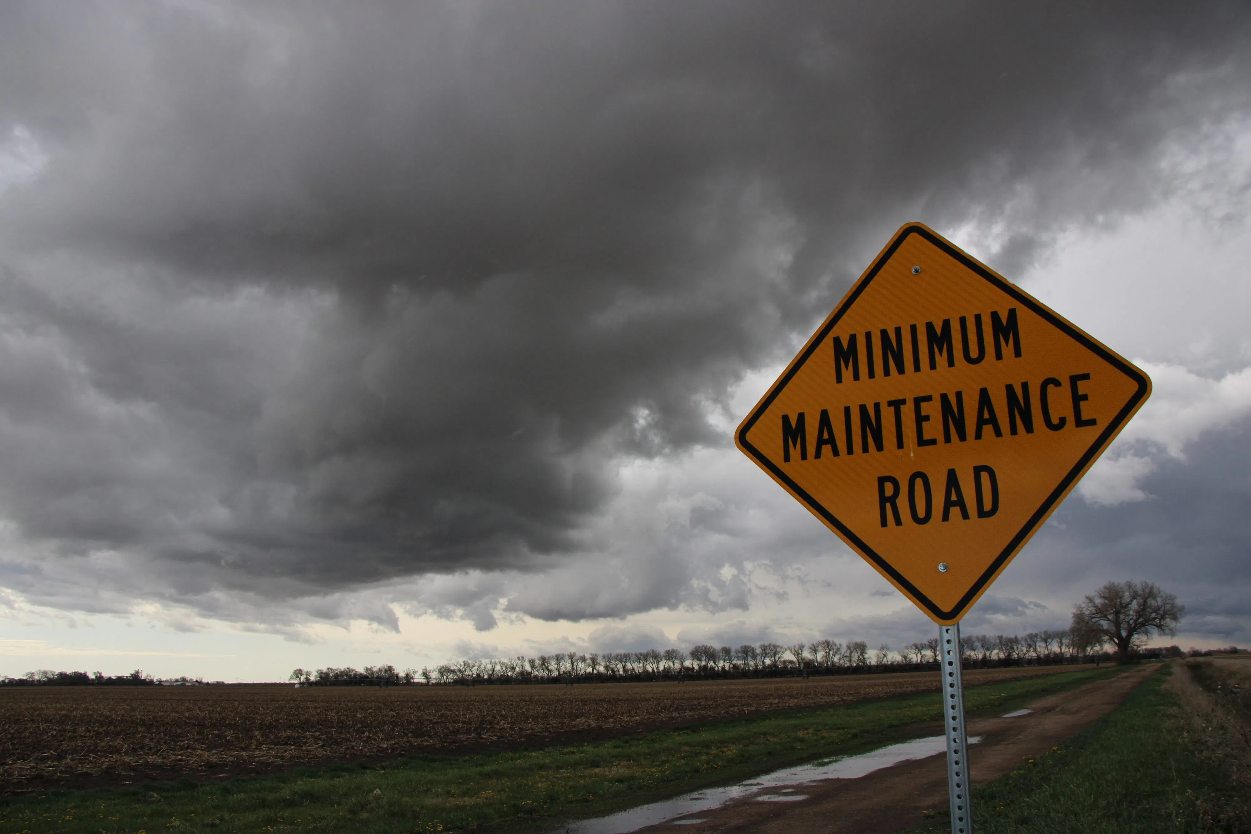
A shelf cloud from a thunderstorm complex passes south of Kearney during the morning of Tuesday, (Brian Neben, Central Nebraska Today)
HASTINGS — Severe thunderstorms passed through south-central Nebraska during the overnight and early morning hours of Tuesday, April 16.
A slow-moving low-pressure system ejected out onto the Plains during the evening hours of Monday, April 15 and brought the attendant risk for severe weather across the area.
Due to the speed of the low-pressure area, the Pacific cold front arrived in the area well after dark but still was able to trigger thunderstorms that then moved into central Nebraska and the National Weather Service – Hastings’ coverage area.
The thunderstorm complex entered Buffalo County around 2p.m.
Buffalo County Emergency Manager Darrin Lewis said that six properties and four houses in Shelton were damaged due to the severe winds that were clocked over 50 mph. The houses were damaged by trees falling on them.
Around 180th Road and Highway 10 a large grain bin was blown off its foundation and hit a nearby residence, Lewis said.
A telephone poll and power lines were also blown down across the road south of Gibbon.
Lewis thanked all the Buffalo County spotters who were up at 2 a.m. and later, “they did an amazing job,” he said.
In Kearney County, Minden saw several large tree limbs blown down from the severe winds.
Fences were blown down in Wood River, as well as over 10 pivots blown down around the town. There were tree limbs down across the community, some damaging homes and cars.
Up in St. Paul, a trampoline landed on the roof of a residence after being carried away by the wind.